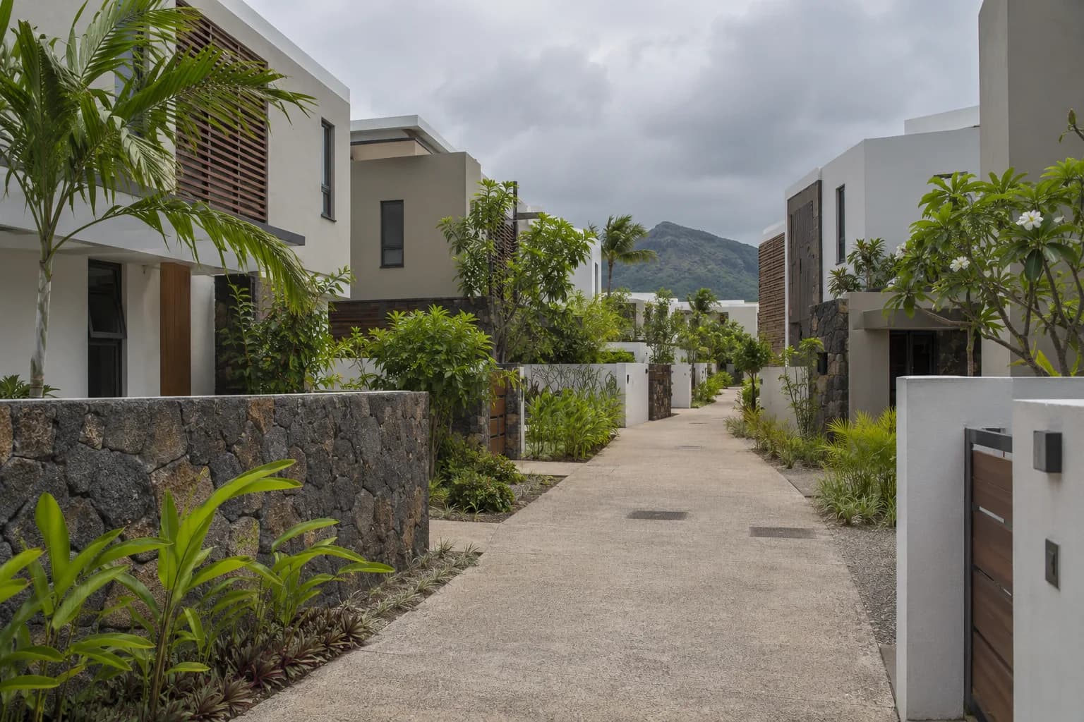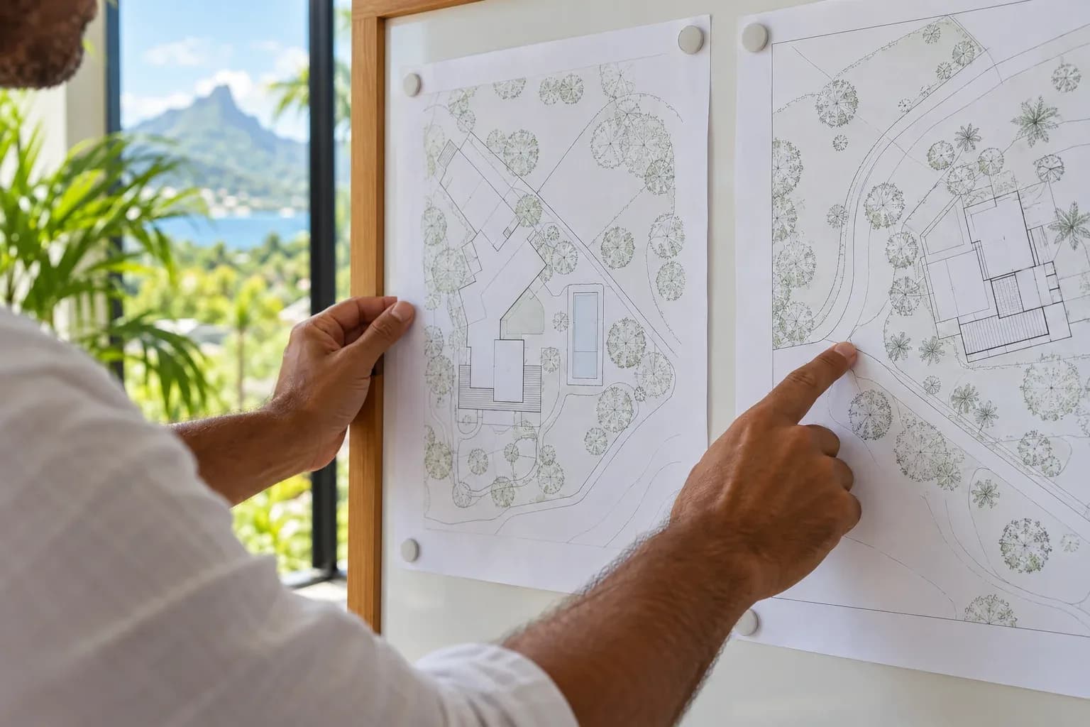
During a viewing, the garden is seen from the terrace. Later, when another path or a new layout comes to mind, the slope becomes more important. Where does it begin? How do the steps meet the house? The wall at the far end suddenly needs a more precise position than a photograph provides.
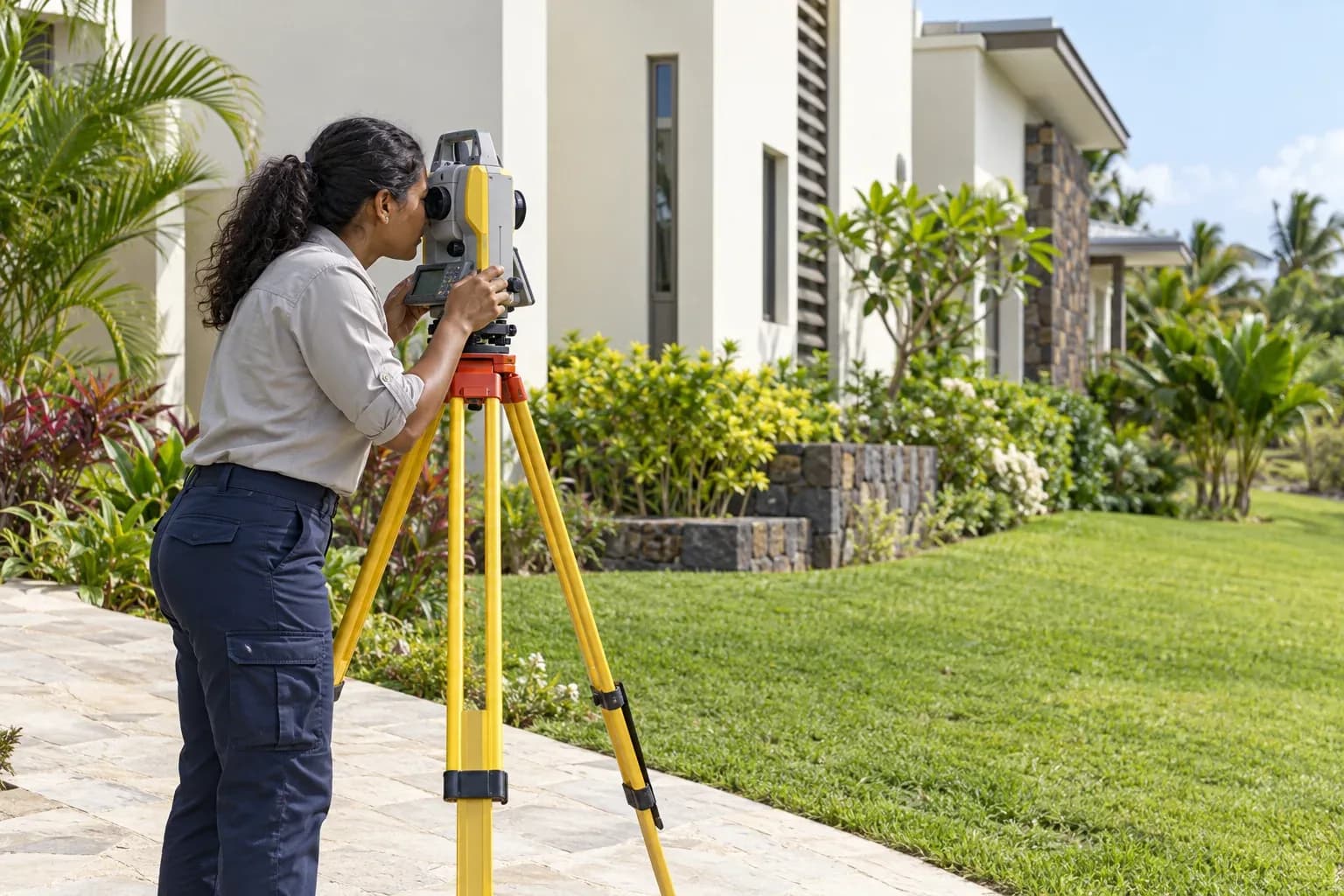
That is where a measured survey can be useful. For a Mauritius property, it creates a way to discuss dimensions and levels with the professionals involved. The drawing needs to contain the details relevant to the project, rather than simply an attractive outline of the plot.
A drawing with a purpose
“A plan of the property” can mean different documents. For a proposed alteration, the architect or surveyor needs to know what should be represented. The edge of a path, the foot of a wall and the top of a step do different jobs on a drawing.
The sloping garden here is an illustrative situation, not a reported project. It shows why a commission benefits from starting with the intended use: connecting outdoor spaces, considering a layout or understanding existing levels.
Mauritian guidance for a plan accompanying a Parcel Identification Number application mentions dimensions, physical features and main buildings. It concerns that particular administrative document. Such a plan does not automatically include every detail another project might need.
The opening conversation with a surveyor can therefore be straightforward: this is what we have in mind; what needs measuring? The professional can explain the area covered, the access required and the documents to be delivered.
Heights begin somewhere
A level marked on a drawing needs a reference. It might be tied to an agreed point on the site or another system defined for the work. The starting point deserves an explanation for whoever will use the drawing next.
The RICS international professional standard distinguishes coordinates, height references and accuracy. It helps frame those questions; it is not Mauritius law imposing the same specification on every buyer.
More decimal places on a page do not establish better measurement. What matters to the project is the agreed accuracy and whether the data can be used for its purpose. If different people work from different files, their references need checking before those drawings are overlaid.
That conversation is easier before the survey is commissioned than after someone discovers that a file does not fit the work they expected to do with it.
The part of the garden left blank
Dense planting, stored materials or a lack of access can leave details outside a survey. RICS discusses these obstacles in its commissioning guidance. A blank area on the finished drawing should not immediately be read as empty ground.
The report and its limitations belong with the drawing. Otherwise a picture forwarded in a message can start circulating as a complete plan, detached from its explanation. Knowing the eventual recipient of the file helps when agreeing the original commission.
A wall shown on the plan is still a measured physical feature. Its presence does not by itself settle ownership or a disputed legal boundary. For a buyer imagining changes to a garden, that distinction is best understood before the first ideas turn into work on site.