A house can be close to the sea without having a beach at the end of its road. The distance may look short on a map; on foot, much depends on the entrance you can actually use. For anyone hoping to spend plenty of time by the water, that route deserves as much attention as the view from the living room.
The question is quite specific: which stretch of beach will you reach? A village name will not always answer it. Beach Authority documents describe a coastline of named places, sometimes with several separate sections sharing the same geographical name.
Pointe aux Piments is more than one beach
The Beach Authority’s published list of proclaimed public beaches includes several distinct entries for Pointe aux Piments. Among them are the main beach, a section near the fish landing station and another known as Pointe Cimetière. Trou aux Biches also appears under several landmarks, including the police station and the former aquarium. These are names used in the document, not a report on entrances observed today.
They help pin down the beach associated with a house, rather than treating a whole stretch of coast as a single place. The list does not, however, map a route from private property or settle a boundary or right-of-way question. The Beach Authority can be asked to clarify the section concerned and its current designation.
From the front door to the sand
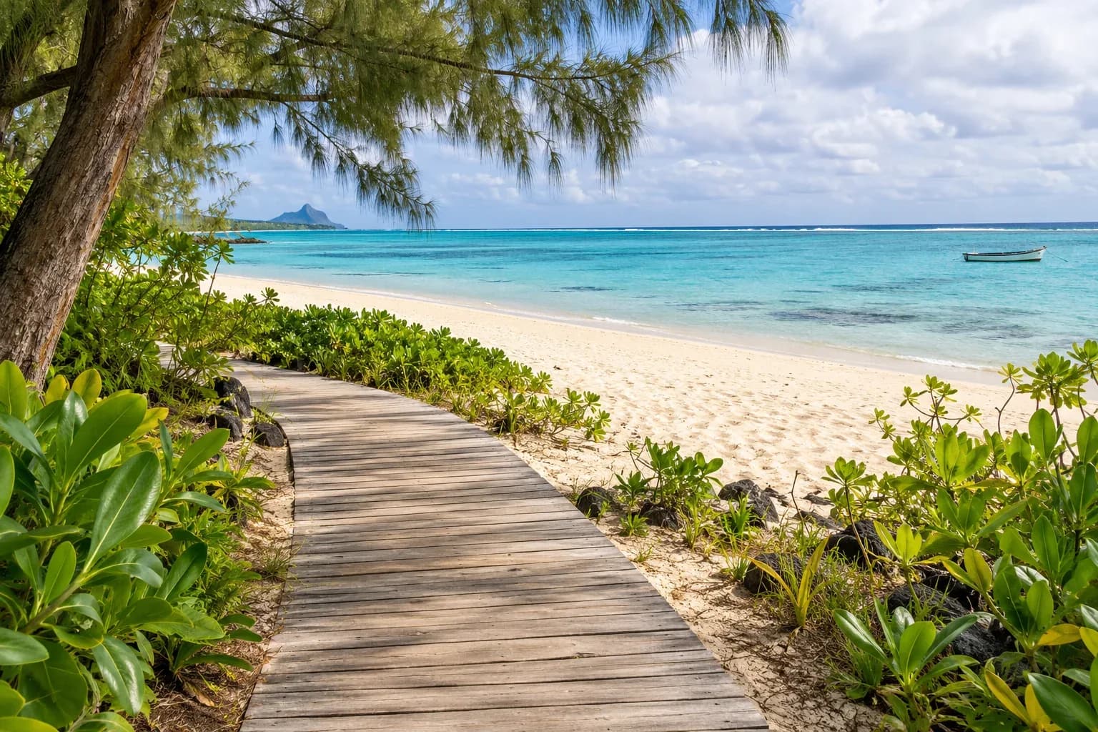
To get a feel for the journey, follow the route you can actually use rather than measuring a straight line. A detour, a road crossing or the position of an entrance may change how well an address suits someone who wants to walk to the beach. This means looking at the route without passing through a closed gate or taking a shortcut whose access is uncertain.
When beach access is part of a property’s description, it needs a clear explanation. Where does the route run, and on what basis can it be used? If it crosses private land, the legal adviser handling the purchase can examine the arrangement. A beach entrance, a car park and hotel facilities are also separate things: access to one says nothing by itself about use of the others.
Different uses of the lagoon
Beyond the sand, location also shapes the activities available. The Marine Conservation Division describes zones and permits in the Blue Bay and Balaclava marine parks. At Balaclava, it explains that zoning helps protect habitats and separate activities that can conflict. These examples do not establish a single rule for every Mauritian lagoon.
A boat trip, an organised activity and a swim therefore raise different questions. For a particular plan, the relevant authority or an authorised operator can explain the current local rules. Sea conditions and safety advice still need to be checked separately.
Choosing a coastal home becomes more specific once the beach has a name and the route is clear. For some people, the view will remain the main attraction. For those who want to reach the sand regularly, knowing where the path leads can change what they look for on a viewing.